Extreme weather is wreaking havoc around the world with heatwaves and heat domes affecting Canada, the United States, India, Greece, Southeast Asia, and killing hundreds in Saudi Arabia, while major floods affect Germany, Sri Lanka, Indonesia and Brazil where 90 have already been killed and hundreds of thousands displaced. Almost daily, we get new weather alerts informing us of upcoming weather events.
Professor Hossein Bonakdari, Associate professor of Civil Engineeringin the University of Ottawa’s Faculty of Engineering, uses his AI weather modelling technology to provide insight into the role of El Niño, La Niña and climate change on the already uncertain summer climate.
Question: What is driving the increase in extreme weather patterns across the globe?
Hossein Bonakdari: It is unsurprising to see worsening climate extremes so early in the year given the world has experienced unprecedented increases in temperatures due to El Niño. But the extreme weather patterns continue to escalate globally and what we have observedthis June are consistent with climate change.
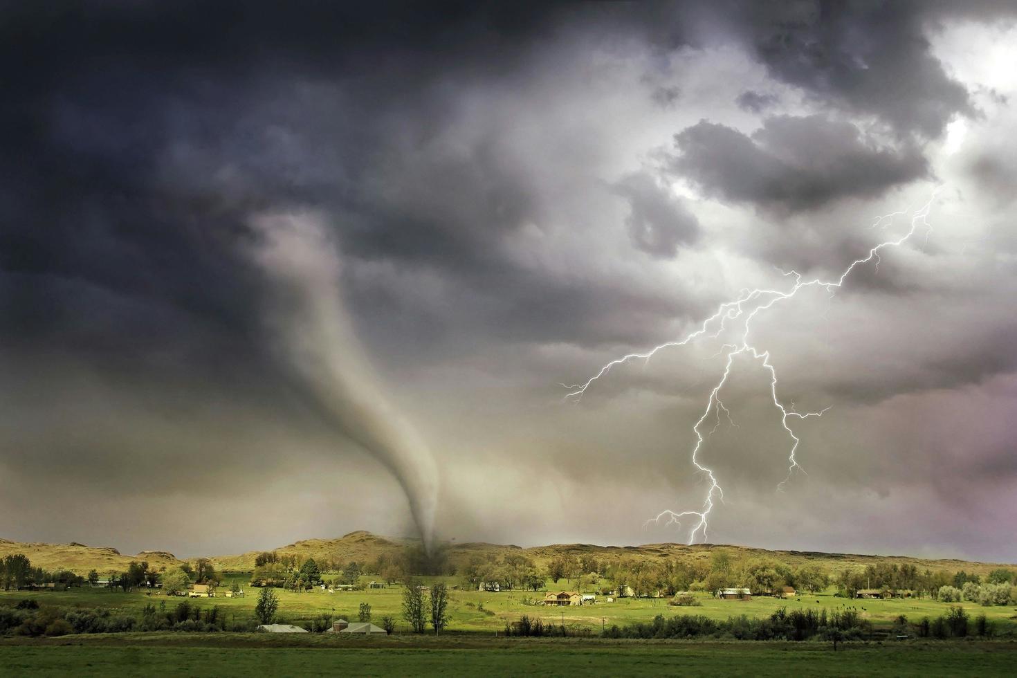
Increased global temperatures enhance the atmosphere's capacity to hold moisture, leading to more intense storms and heavier rainfall. This results in more frequent and severe hailstorms, strong winds, and tornadoes.
Q: Are those weather patterns related to the transition from El Niño to La Niña?
HB: Less than 10% of last year's warming was primarily due to El Niño, while more than 90% was attributable to human activities. This significant disparity underscores the dominant role of anthropogenic factors, such as greenhouse gas emissions from burning fossil fuels, deforestation, and industrial processes, in driving the current trend of global warming.
El Niño tends to bring warmer and wetter conditions, while La Niña often results in cooler and drier conditions in many parts of the world. However, both phenomena can contribute to the development of extreme weather events such as thunderstorms and tornadoes. The transition between these phases can drastically alter weather conditions across the globe. During such transitions, the atmosphere responds to the changing ocean temperatures, which can create hotspots for extreme weather events. For instance:
- Increased Cyclone Activity: During La Niña, the Atlantic hurricane season tends to be more active, leading to a higher number of tropical storms and hurricanes. This can result in severe weather conditions, including heavy rainfall, flooding, and strong winds in affected areas.
- Temperature Extremes: The transition period can bring about sudden changes in temperature patterns. Regions that were experiencing cooler conditions during El Niño might suddenly face heatwaves as La Niña takes hold, and vice versa.
- Droughts and Floods: La Niña often brings drier conditions to the southwestern United States and wetter conditions to the Pacific Northwest. Similarly, Southeast Asia and Australia might experience more rainfall and flooding during La Niña, contrasting with the drought conditions that can occur during El Niño.
- Global Weather Disruptions: The transition can also affect jet streams, which are fast-flowing air currents in the atmosphere. Changes in these jet streams can lead to unusual weather patterns, such as prolonged heatwaves, unexpected cold spells, or unseasonal storms in various parts of the world.

“Predictive models suggest that we are likely to see more extreme weather events”
Hossein Bonakdari
— Associate professor of Civil Engineering
Q: Are your weather predictive models telling us that we will see more of these extreme weather events?
HB: Predictive models suggest that we are likely to see more extreme weather events, although the impact on temperatures can vary by region. While La Niña leads to cooler global temperatures compared to El Niño, it doesn’t negate the long-term trend of rising temperatures due to climate change. As a result:
- Higher Baseline Temperatures: Even during La Niña, the baseline global temperatures are higher than in previous decades due to ongoing global warming.
- Heatwaves and Temperature Extremes: Although La Niña might bring regional cooling in some areas, other regions can still experience heatwaves and temperature extremes exacerbated by climate change.
The combination of La Niña conditions and unusually warm sea surface temperatures also creates an environment conducive to more frequent and intense hurricanes this summer. Peak storm season will occur in August. This scenario enhances the likelihood of an extraordinary hurricane season, as La Niña typically leads to more active Atlantic Ocean hurricane activity.
Hossein Bonakdari
Associate Professor
Civil Engineering
Faculty of Engineering
University of Ottawa
hossein.bonakdari@uottawa.ca
Informations : media@uottawa.ca
